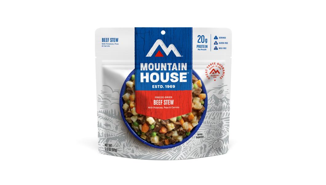
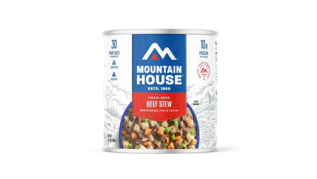
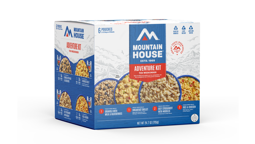
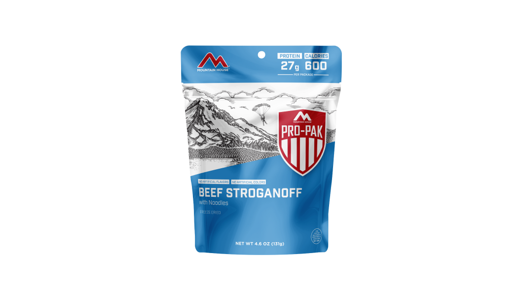
Inspired for an Adventure? Check out Beef Stroganoff - Pouch and Beef Stew - Pouch
Free Ground Shipping On All Orders
Over 2,100 Reviews
Add description, images, menus and links to your mega menu
A column with no settings can be used as a spacer
Link to your collections, sales and even external links
Add up to five columns
Add description, images, menus and links to your mega menu
A column with no settings can be used as a spacer
Link to your collections, sales and even external links
Add up to five columns
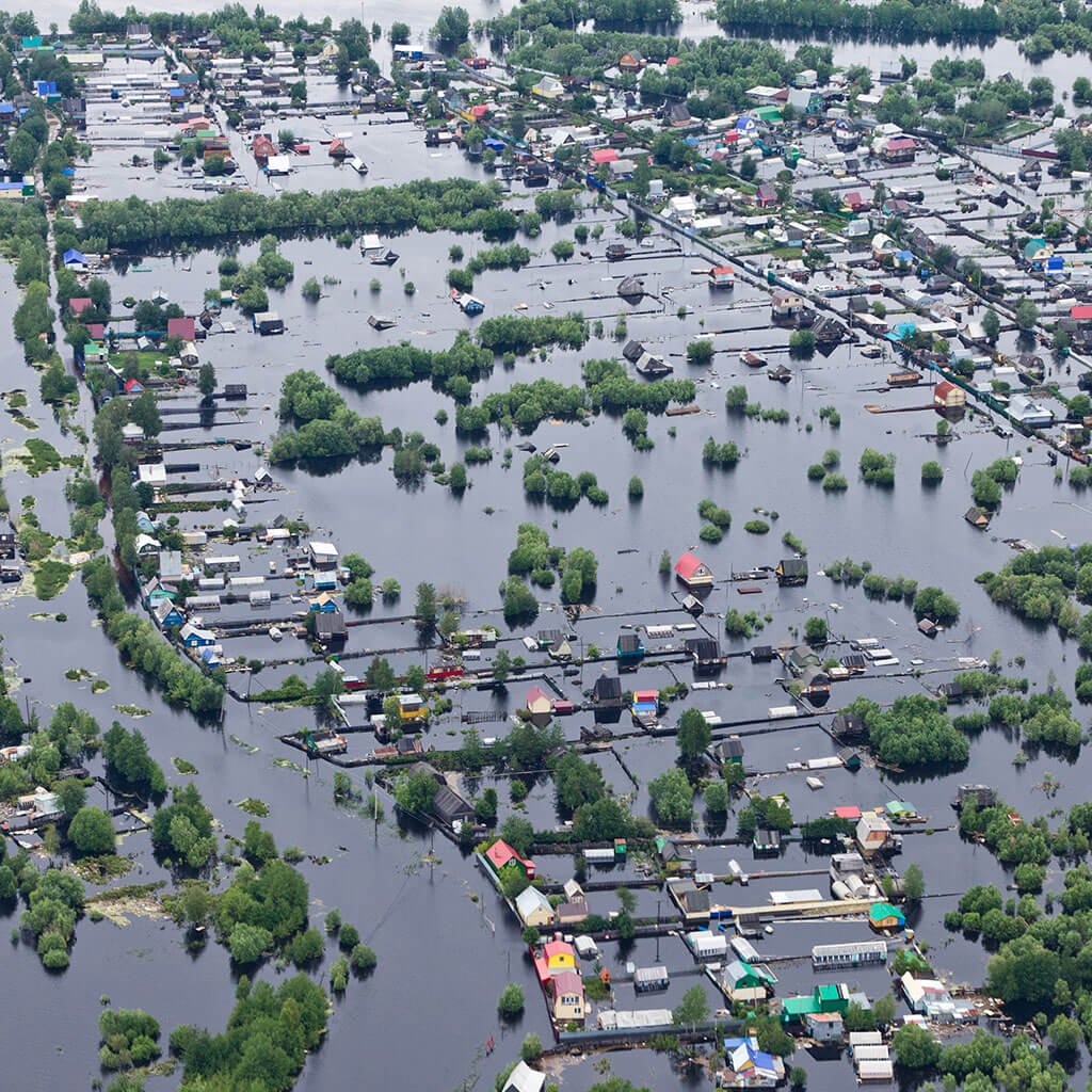

The United States is home to some of the most violent weather in the world, and the potential for heavy-duty atmospheric upheaval exists year-round: from lightning-spitting thunderstorms to bellowing blizzards. In this blogpost, we’ll cover the basics of how to prepare for severe weather and also the main sorts that the country experiences.
Preparing for Severe Weather
Pay close attention to weather forecasts, and key into any advisories, watches, warnings, and alerts. The National Weather Service can send out Wireless Emergency Alerts (WEAs) to mobile devices in the event severe conditions are expected or imminent. A battery-operated NOAA Weather Radio is an excellent investment for your home, as it enables you to stay abreast of current weather conditions even in the event of a power outage.
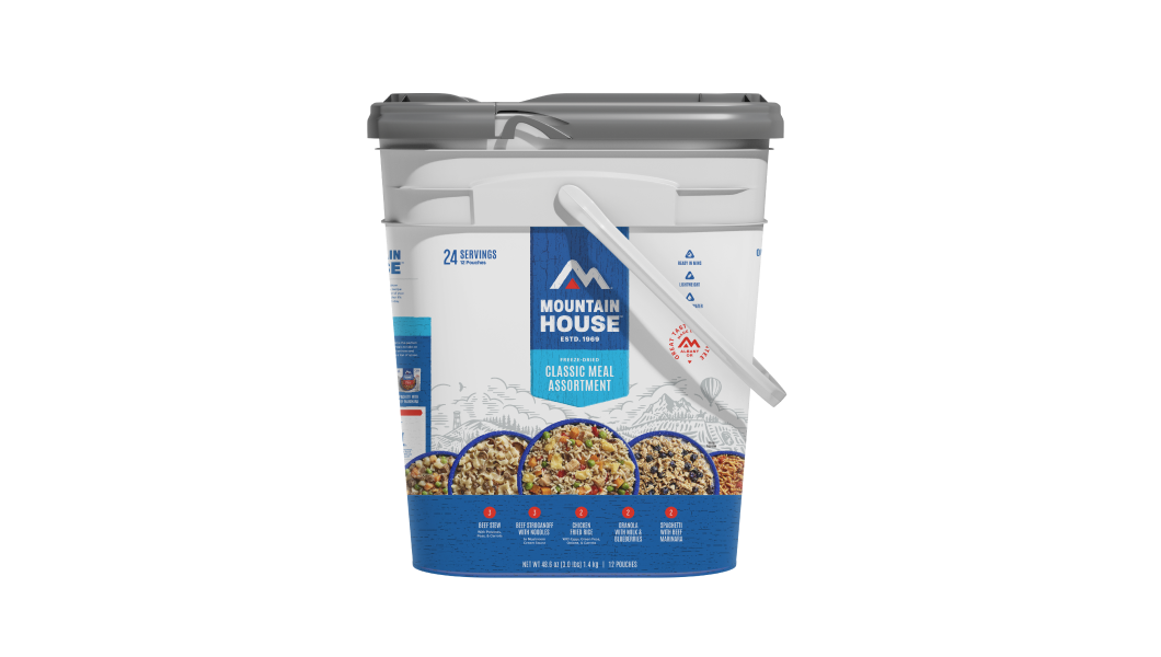
Be sure you’ve assembled an emergency kit (aka 72-hour kit, disaster supply kit, survival kit, etc.) so you have the life-maintaining resources you need to (literally) weather the storm if the power goes out and/or travel becomes impossible. Include at least a gallon of drinking/sanitary water per person per day for a minimum of three days, and non-perishable food for at least that long. Mountain House emergency food kits and buckets deliver big time on this count given their compact storage and our freeze-dried meals’ unsurpassed shelf life.
Your disaster supplies kit should also include first-aid materials, flashlights or headlamps (preferably at least one hand-cranked model), backup batteries, a cell phone with charger and reserve battery, extra stock of any required medications, maps of your local area, a wrench for shutting off the gas supply, and blankets. Learn more about the components of a properly put-together emergency kit here at the Ready.gov website.
Regularly inspect your home and property to identify and eliminate elements that could become hazardous during severe weather. Remove precarious branches and dead or dying trees that could fall in high winds, and keep those gutters clear.
Severe Thunderstorms
Thunderstorms spew lightning and often produce strong winds, hail, heavy downpours, and flash floods—all potentially hazardous to human life and limb as well as property. Because they’re familiar weather phenomena in so much of the country (particularly during spring and summer months), and because they vary greatly in intensity, thunderstorms are easy to become blasé about, but treat them seriously.
According to the National Severe Storms Laboratory, roughly 100,000 thunderstorms hit the United States every year. Generated by multiple meteorological situations—localized heating, the movement of weather fronts, the influence of topography on airmasses—these electrical storms can happen anywhere in the country, although they’re relatively rare west of the Cascades in the Pacific Northwest. Florida boasts the most thunderstorms in the country; they’re also especially common along the Gulf Coast and over the Mississippi Valley, the Great Plains, the Central Lowlands, and the Southern Rocky Mountains.
In spring and summer, thunderstorms tend to be most common in the afternoon along the Gulf Coast and in the Southeast and Mountain West, while over the Great Plains and Central Lowlands they often emerge in the evening or overnight.
In the event of a t-storm seek shelter inside away from windows. Unplug appliances, computers, and other devices that could be damaged by an electricity surge from lightning (or after an outage when power’s restored). Keep tabs on the storm with your NOAA Weather Radio.
Tornadoes
There’s no more violent storm on Earth than a tornado: Though these cloud-whirls cover far less area than a hurricane, the winds of the strongest ones may exceed 300 miles per hour—much higher speeds than those of even the strongest tropical cyclones. The devastation such a storm wreaks along its localized path can be just about total.
Tornadoes have been documented all over the world, but there’s no question the USA is their true kingdom: The nation experiences an average of more than 1,200 twisters per year, compared with about 100 in Canada, the country with the next-highest frequency. The USA not only sees more tornadoes than anywhere else, but also by far the greatest share of the most intense ones. The Enhanced Fujita Tornado Scale ranks tornadoes by their wind speed from EF0 to EF5; the latter category includes the strongest tornadoes with gusts beyond 200 miles per hour.
Tornadoes are vortices of raging wind that extend from the cloud base of a thunderhead down to the ground; they may or may not be visible. Those that are commonly develop from a dangling funnel cloud (which officially becomes a tornado if it hits terra firma).
There’s still plenty meteorologists don’t know about tornado formation: These storms can materialize and disappear quickly (their average lifespan is about 15 minutes), and it can be challenging in many cases to fully track their evolution. We do know the strongest tornadoes most often spawn from so-called supercells, which are especially vigorous thunderstorms that feature rotating updrafts.
The USA is home to three major tornado hotbeds. “Tornado Alley” stretches from Texas to Minnesota, an area with the ideal setup for violent thunderstorms given its huge, relatively flat expanse and the frequent collision of warm, moist airmasses from the Gulf of Mexico and cold, dry continental air. The so-called “Dixie Alley” covers the Lower Mississippi Valley and part of the Gulf Coast region. And then there’s Florida, which on average has the third-highest number of tornadoes in the country; those twisters, however, tend to be weaker than the Tornado and Dixie Alley storms—supercell thunderstorms aren’t as frequent here, and some tornadoes seem to be “merely” waterspouts come ashore. Texas and Kansas, part of the Tornado Alley heartland, are first and second when it comes to average annual tornado frequency. And it should be noted that parts of the Midwest outside the traditionally accepted Tornado Alley boundary, such as Wisconsin, Michigan, and Illinois, tend to receive their fair share of tornadoes as well.
When the potential for tornado formation is significant enough, the NOAA Storm Prediction Center will release a Tornado Watch that may cover multiple states. If your area falls in the bounds of a Tornado Watch, pay careful attention to weather reports. If radar or firsthand observation indicates an actual tornado, local National Weather Service offices declare a Tornado Warning; if you’re in its zone, it’s time to immediately take cover.
And what sort of cover should you be taking? If you are in a facility that has an ICC50-certified storm shelter or, even better, a FEMA-approved safe room, that’s where you should go. (Check out our Mountain House blogpost on storm shelters, including safe rooms, right here.) If not, seek out a small interior room without windows on the lowest floor or basement. As Ready.gov instructs, “Put as many walls as possible between you and the outside.”
If you’re in a car when a Tornado Warning is issued, try to get to a secure indoor shelter—but don’t try to outrun a tornado if you’re actually caught in its path. Your seatbelt should be fashioned already, of course, but swaddle your heat in blankets, coats, pillows, or whatever other protective layers you have.
Hurricanes
Tornadoes may be capable of greater wind speeds, but no earthly storm wields such devastation across such large areas as hurricanes. “Hurricane” is the term used in the North Atlantic and Northeast Pacific to describe a tropical cyclone, which is called a “typhoon” in the Northwest Pacific and simply a “cyclone” in the Indian Ocean and South Pacific.
Tropical cyclones begin life as low-pressure disturbances fueled by the evaporation of warm ocean waters. They form over oceans in tropical and subtropical latitudes, though because they require inflowing winds to rotate around a core of low pressure—the influence of the Earth’s rotation on wind direction, a phenomenon called the Coriolis effect—they don’t develop right along the equator where the Coriolis effect is basically nonexistent. A hurricane officially arises when wind speed in a so-called tropical depression reaches 74 miles per hour, the minimum cutoff for a Category 1 storm on the Saffir-Simpson hurricane intensity scale used in the USA. The strongest hurricanes are Category 5 storms with maximum sustained wind speeds of 157 miles per hour or greater.
The areas of the USA primarily impacted by hurricanes are the Gulf and Atlantic coasts, struck by storms that form over the North Atlantic, the Caribbean Sea, or the Gulf of Mexico. (Hurricanes also whip up west of Mexico in the Northeast Pacific, but because the trade winds typically steer tropical cyclones to the west, such storms don’t usually influence the U.S. West Coast—where colder ocean waters snuff out the few Northeast Pacific hurricanes that do “recurve” and head for California. Off the East Coast, ocean temperatures are toastier due to the influence of the Gulf Stream, which explains why hurricanes on that side of the continent can survive much farther north.)
The Atlantic hurricane season officially extends from June 1st to November 30th, though tropical cyclones can hit outside that period. Coastal communities from Texas to Florida to New England are most at risk, but the damaging impacts of a hurricane can extend for 100 miles or more inland (and the diminished remnants may bring torrential rain far north into the Northeast and Midwest).
The main impacts of a hurricane are by no means confined to the whack of its winds: Even more lethal, statistically speaking, are cyclone-associated storm surges and storm tides in coastal areas and inland flooding resulting from massive rainfall.
We’ve written an entire blog post devoted to hurricane prepping and safety, which we encourage you to read if you live anywhere in hurricane country.
Pacific Northwest Windstorms: “Big Blows”
The Pacific Northwest west of the Cascade crest (which is our home base here at Mountain House) rarely experiences some of the severe weather we’ve covered so far: Thunderstorms are uncommon compared to just about anywhere else in the Lower 48, tornadoes highly unusual (though weak ones do happen), and tropical cyclones don’t prowl this far north in the Northeast Pacific. But that’s not to say that severe weather doesn’t play out here, perhaps most dramatically in the form of extratropical cyclones.
Extratropical cyclones are major weather-makers across the middle latitudes of the planet, particularly in winter. Like hurricanes, they feature winds rotating around a low-pressure center; in the Northern Hemisphere, that rotation is counterclockwise. Unlike hurricanes, these storms develop from strong contrasts in temperature across the polar front, the threshold between cold poleward air and tropical air to the south. They may be enormous, much bigger than hurricanes but not so ferocious, gale-wise.
The Pacific Northwest often receives the full thwack of extratropical cyclones generated in the Gulf of Alaska and thrown southeastward by the Aleutian Low (a semipermanent winter low-pressure cell of the North Pacific). The strongest of these can be hardcore meteorological disturbances, sometimes called Northwest windstorms, Pacific cyclones, or—more colloquially—“Big Blows.” Probably the best-known Big Blow is the Columbus Day Storm of 1962, which as University of Washington meteorologist Cliff Mass notes was both the most powerful storm to hit the Northwest in recorded history and likely the most significant non-hurricane storm to impact the Lower 48 states in the 20th century. Cape Blanco on the southern Oregon Coast registered a wind speed of more than 145 miles per hour during this storm, which caused significant damage from Northern California to southwestern British Columbia.
Blizzards, Snowstorms, Ice Storms
Thunderstorms, tornadoes, and hurricanes are uncommon in the winter months, but they bring their own suite of potentially nasty weather. A light, slow-paced snowfall can be wonderful; ramp up the precipitative production, and it can turn visibility to basically zero and travel into a nightmare. Combine heavy snowfall and blowing snow with winds above 35 miles per hour and you’ve got yourself a blizzard; even without actual precipitation, blowing snow and strong winds create ground blizzards.
Extratropical cyclones on the East Coast—the infamous nor’easters—can deliver epic quantities of snowfall in combination with high winds: real blizzard factories.
Parts of the country with milder winter temperatures, such as the South and the maritime Northwest, are often whacked not by blizzard but by freezing rain or ice storm, which can be worse yet.
For anyone caught outside in a winter storm, frostbite and hypothermia are real hazards. Indoors, you may well experience a power outage during a blizzard or an ice storm—a bit trickier to manage than a summertime one, obviously, given the temperatures. We’ve got a Mountain House blogpost all about surviving snowstorms, indoors and out—find it right here!

How to Rotate Emergency Food: FIFO and Other Rotation Methods

The First 72 Is on You: Survival Kit Checklist + Printable PDF


Stay Hungry for Adventure
Sign Up for Delicious Outdoor Meals & Exclusive Offers!
By clicking ‘Join Now’, I agree to the Terms of Service and Privacy Policy.


Join the adventure
©2026 Mountain House — All Rights Reserved.
Your Cart is Empty
Continue ShoppingYour Cart
Subtotal
$0.00
EXPRESS PAYMENT METHODS AVAILABLE IN CHECKOUT
Taxes and Shipping Calculated at Checkout
Your ExpertVoice deal.
$[Deal Price]
$[Original Price]
Discount applied at checkout.
On sale now — lower than your ExpertVoice discount.
Not eligible for ExpertVoice discount.
