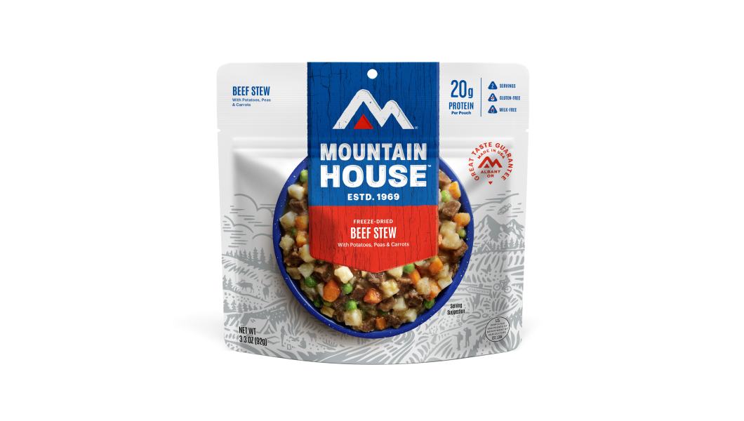
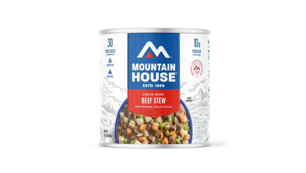
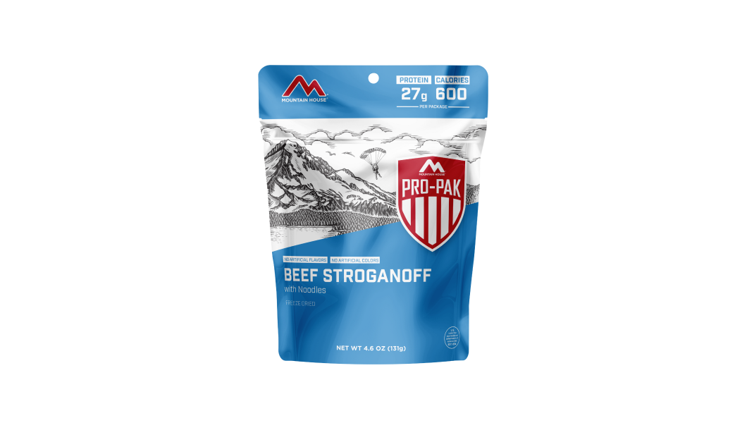
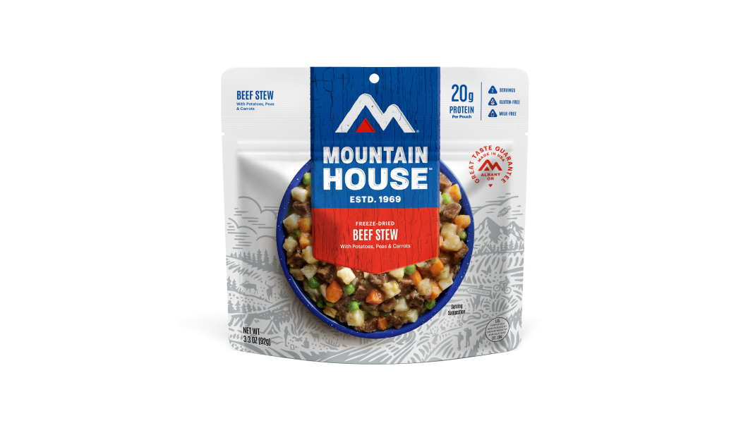
Inspired for an Adventure? Check out Beef Stroganoff - Pouch and Beef Stew - Pouch
Free Ground Shipping On All Orders
Over 2,100 Reviews
Add description, images, menus and links to your mega menu
A column with no settings can be used as a spacer
Link to your collections, sales and even external links
Add up to five columns
Add description, images, menus and links to your mega menu
A column with no settings can be used as a spacer
Link to your collections, sales and even external links
Add up to five columns
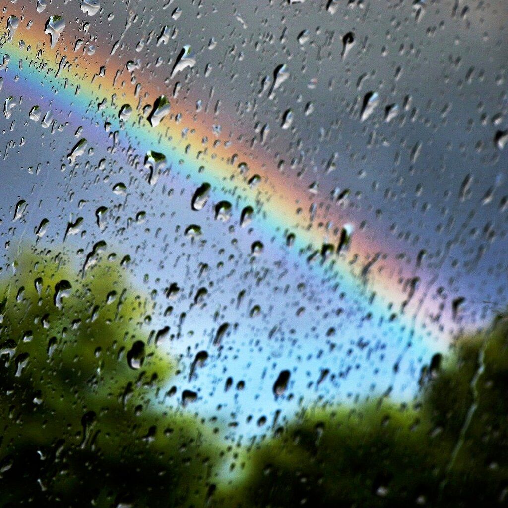

Lots of devoted outdoorsmen end up becoming amateur meteorologists of sorts. After all, the hiking, camping, paddling, hunting, fishing, and climbing we pursue are all very much at the whim of the weather. Besides the discomfort and bad mood a sudden drenching downpour might inspire, we also face real hazards from Mother Nature’s atmospheric department out there - from biting cold to spitfire electrical storms.
Weather-wise outdoors lovers don’t only pack extra layers, tote a weather radio, and keep an eye on the skies on a regular basis: they also study the forecast to hit the backcountry better prepared, and if need be, reschedule or postpone their trip if the predicted conditions are on the hairy side of things.
In this post, we’ll run down some weather basics for adventure planning, covering some simple things to look for in a forecast and how to apply that knowledge when timing your outing or determining where to go.

Image by Kevinsphotos from Pixabay
Finding Weather Forecasts

Image by analogicus from Pixabay
It’s never been easier to access high-quality, up-to-date weather forecasts for your personal outdoor adventure planning. You no longer have to rely solely on the TV weatherperson; between websites and weather apps, you’ve got a wealth of in-depth meteorological info literally at your fingertips. In the U.S., you can’t do better than the tried-and-true National Weather Service (NWS) and its array of online and mobile-friendly tools.
Use the NWS point-forecast function to get a sense for weather in the backcountry, away from the established weather stations of towns and cities. Another good Internet resource for wilderness conditions is Mountain-Forecast.
Basic Weather Conditions & Forecast Info to Focus On

Check the current conditions and predicted outlook for the area you’ll be headed for. Some factors to pay attention to (and here we'll introduce a few basic weather terms):
- temperature
- barometric pressure (roughly speaking, a measure of the weight of overlying air, and a key indicator of weather systems on the move)
- relative humidity (a measure of how saturated the air is, which can indicate the likelihood of cloud/dew formation and precipitation, and also influences the effective temperature you actually experience)
- wind speed and direction
- chance of precipitation (and what kind is forecast)
- predicted cloud cover (or lack thereof)
Surface Condition Weather Maps

Image by jhenning from Pixabay
It’s also a good idea to look at weather maps depicting surface conditions - including the location of high and low-pressure systems and frontal boundaries - and those showing winds aloft.
To roughly estimate temperatures in highlands or mountains with only a forecast for a lower-elevation station, subtract 3.5 degrees Fahrenheit for every 1,000 feet.
What to Expect
- Higher relative-humidity values (in other words, more humid air) usually make warm temperatures feel more oppressive and cold temperatures more chilling.
- You can also expect the formation of dew, frost, or fog overnight when relative humidities are high, as temperatures by the early morning are likely to have fallen enough for the air to become fully saturated (cold air has less capacity for moisture than warm air).
- If the forecast suggests widespread overcast during the day, expect daytime temperatures to be a little cooler than they otherwise would; cloud cover at night will tend to keep temperatures warmer, all else being equal. Clear skies during the day will support enhanced daytime heating from strong sunlight, while at night a lack of clouds will facilitate more radiative heat loss from the ground and make for nippier conditions.
Chance of Precipitation

Image by Andrei Kuleshov from Pixabay
The chance of precipitation for a given area, expressed as a percentage, can be a little confusing, but a generally good rough guide for predicting the likelihood you’ll get rained, snowed, or sleeted on. The percentage indicates the probability that any particular location in the forecast area will receive precipitation (of at least a hundredth of an inch) during the forecast period. A probability of 30% rain for the day means there’s a 30% chance rain will fall at that spot during that period, not that it’ll be raining 30% of the day.
What to Expect
- Generally speaking, you can expect a higher precipitation chance at higher elevations; a 30% chance of rain at a town in the valley may be more like 50 or 60% in the surrounding mountains.
Weather Fronts

Image by Tobias Hämmer from Pixabay
A lot of the most dramatic weather occurs at the boundaries of air masses - fronts, in other words, and namely the frontal zones associated with traveling low-pressure cells. Knowing the location of cold fronts, warm fronts, and occluded fronts (basically combination cold/warm fronts) and intervening sectors in relation to where you’ll be recreating helps you predict the kind of weather conditions you can expect.
Both warm and cold fronts often produce cloudiness and precipitation. Warm fronts tend to create widespread overcasts and extended periods of light rain, sleet, or snow. Faster-moving cold fronts are typically the more dramatic weathermakers, often responsible for summer thunderstorms and winter snowstorms, though this precipitation tends to be not only more intense than that of warm fronts but also briefer. Occluded fronts, which can be envisioned as a cold front catching up to a warm front, show characteristics of both; they tend to be on the quicker-passing side of things, like a cold front.
Winds

Image by PublicDomainPictures from Pixabay
Strong winds may accompany the passage of fronts, or flow down gradients of pressure between air masses of different temperatures. These air movements can be dangerous to an outdoor traveler, not least high-country hikers exposed to the gale-force winds that can prevail over mountainous terrain.
Remember that gaps in complicated topography such as mountain passes and canyons can channel and thus rev up winds, resulting in much stronger gusts. If you see a forecast calling for winds of, say, 20 or 25 miles per hour, expect that winds in and just downwind of that gorge or saddle on your route may be as strong as 40 or 50 miles per hour.
Planning for Fair Weather

Compared to the upheaval of low-pressure systems and their sweeping fronts, a high-pressure air mass tends to bring an interval, sometimes prolonged, of calm, clear weather - typically offering some of the choicest conditions for outdoor recreation. A forecast for this fairly predictable, undramatic sort of weather will often be a very encouraging one for a hiker, backpacker, climber, or paddler, but you can also expect some phenomena that may influence your adventure planning: for example, where you pitch camp.
The calm, settled conditions of a high-pressure spell mean air movements driven by daily temperature fluctuation and topography - which tend to be masked or all-out overpowered by larger-scale frontal weather - are more discernible. On a clear night, the ground cools off significantly, and cools the air above it; this dense cold air will then slide downhill and pool in low spots. Therefore, in these kinds of conditions, you likely want to avoid camping at the base of a cliff or steep slope, or in a narrow valley bottom or hollow, where you’d be dealing with some unpleasant chill. A mid-slope or otherwise elevated campsite will likely be the warmer one.
Variations in temperature on slopes of different aspects due to unequal levels of solar radiation are likely going to be more pronounced during calm high-pressure weather, too. A shoulder-season camper might therefore choose to pitch his or her tent on a south-facing slope, which’ll offer more residual warmth after daytime heating that may be more than 10 degrees warmer than a shadier north-facing one.
Freezing Level at Elevations & Terrains

Image by Kerstin Riemer from Pixabay
Freezing level is another useful element of the forecast to focus on between fall and spring, particularly when precipitation is expected. But keep in mind that the freezing-level elevation or elevation range you’ll get in a forecast is a rough guide. Snow or sleet may fall well below the freezing level, one or two thousand feet even, especially in a heavy precipitation event that pulls down cold air from above.
Rough terrain can also surprise outdoor users beneath the general freezing level of the so-called “free atmosphere.” If you’re in a basin or valley where dense cold air has collected, precipitation falling as rain higher up may turn into sleet or snow when it hits that cold lower layer. Or you may be up at pass level in a roughly north-south mountain range that’s cold air on one side; this blocked air may build up enough that it spills across the pass, chilling rain to frozen precipitation even if the pass is technically below current freezing level.
One forecast situation where you may want to expect that kind of unpleasantly cold, icy, and snowy weather at passes below the free-atmosphere freezing level is when a cold, high-pressure air mass lies on one side of a north-south mountain range and a low-pressure system is marching in on the west side. That can set up a strong pressure gradient that pulls the colder air from the east side over passes and gaps to the west, producing freezing rain, sleet, or snow around those portals.
Thunderstorms

Image by FelixMittermeier from Pixabay
Thunderstorms represent one of the most significant meteorological dangers for outdoors recreationists. This is most notably because of lightning, but also because of the gusty winds and drenching downpours or hail often associated with strong thunderstorms, which can add such hazards as toppling trees or flash floods to the mix.
If thunderstorms are in your forecast, pay attention to their probability, duration, and likely timing, and continue to check for forecast updates every few hours leading up to your planned adventure. If widespread thunderstorms (such as those triggered, say, by an oncoming cold front) are predicted, you probably should ditch that boating outing or climb above timberline.
If the atmosphere is unstable in the spring or summer, there may be a chance for more localized thunderstorms to spring up from heating and convection (the rise of heated air); such “air mass thunderstorms,” as they’re called, are often a daily occurrence in the summer high country of the Rockies. If the weather calls for sunny, warm, and unstable conditions, try to time your crossing of high passes, subalpine ridges, and mountaintops for the morning, before strong convection has really gotten going.
We mentioned earlier the influence of cloud cover on temperatures. This has bearing on the likelihood of thunderstorms. A morning overcast of stratus that’s slow to burn off on a summer day will tend to diminish the likelihood of air mass thunderstorms, because there’s less time for lower air to heat up and for convection to develop.
Avalanche Weather

Image by pasja1000 from Pixabay
Besides watching forecasts to know what to expect temperature, wind, and precipitation-wise when you’re out in the backcountry, recreationists headed for winter or spring mountains are also curious about how recent weather may have influenced current avalanche danger.
Paying attention to some of the basic meteorological variables we talked about earlier can help you predict how sketchy avalanche conditions may be for your trip into the heights. For example, if moderate to strong winds are expected during or after a snowfall event, you should expect leeward slopes to be potentially dangerously loaded with wind slabs - and more avalanche-prone.
If snow began falling ahead of a warm front and continued as the front passed over (which you might be able to tell from watching the drop and subsequent rise of barometric pressure during the precipitation event, and by a shift in winds from south easterly to southerly), the resulting snowpack may have heavy, wet snow overlying light, dry snow, which is a precarious setup that heightens the odds of an avalanche. But snowfall starting in warmer temperatures and wrapping up in colder ones (as typically happens with a cold-front storm) leads to the heavy stuff on the bottom and the lighter stuff on top, a stabler, safer layering.
Embrace Your Inner Weather Nerd

Image by Sunu Probo Baskoro from Pixabay
As we’ve spelled out, paying closer attention to the nitty-gritty of the weather forecast has real practical benefit to planning outdoor activities. Here’s wishing you a weather-wise adventure, as opposed to just a weather adventure!

MRE vs Freeze-Dried Food

What Ingredients Are in Mountain House Freeze-Dried Meals?
Stay Hungry for Adventure
Sign Up for Delicious Outdoor Meals & Exclusive Offers!
By clicking ‘Join Now’, I agree to the Terms of Service and Privacy Policy.


Join the adventure
©2026 Mountain House — All Rights Reserved.
Your Cart is Empty
Continue ShoppingYour Cart
Subtotal
$0.00
EXPRESS PAYMENT METHODS AVAILABLE IN CHECKOUT
Taxes and Shipping Calculated at Checkout
Your ExpertVoice deal.
$[Deal Price]
$[Original Price]
Discount applied at checkout.
On sale now — lower than your ExpertVoice discount.
Not eligible for ExpertVoice discount.
