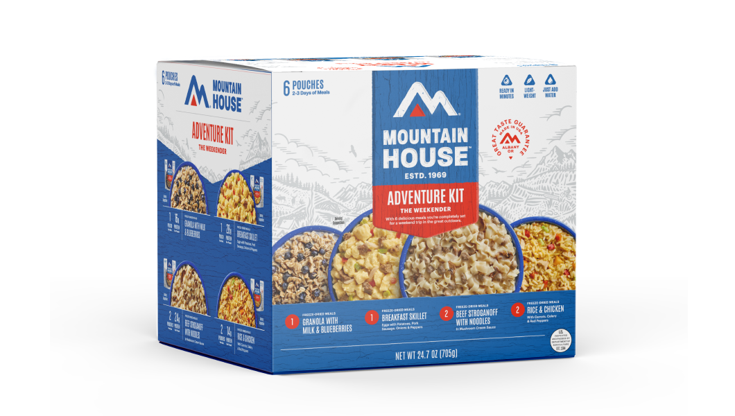
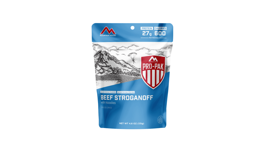
Inspired for an Adventure? Check out Beef Stroganoff - Pouch and Beef Stew - Pouch
Add description, images, menus and links to your mega menu
A column with no settings can be used as a spacer
Link to your collections, sales and even external links
Add up to five columns
Add description, images, menus and links to your mega menu
A column with no settings can be used as a spacer
Link to your collections, sales and even external links
Add up to five columns
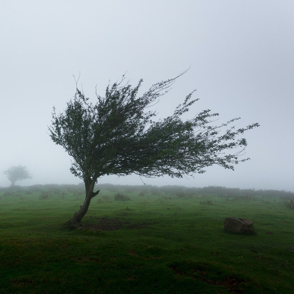

Wind, of course, is one of the great elemental forces of Nature, and much of the time we don't pay it much mind. A gentle breeze stirred by afternoon heating, a bit of blusteriness on a winter commute, or a mountaintop ramble - a lot of this horizontal air movement (as technically defines wind) is on the mild side.
But when the wind gets fierce, it can be utterly terrifying and enormously destructive. High winds define the world's most violent storms, hurricanes, and tornadoes. But the big winds and gusts of more garden-variety weather disturbances, such as traveling low-pressure centers of average intensity and simple airmass thunderstorms, can also damage property - even threaten life and limb.
In this article, we'll talk a bit about when winds typically become hazardous and some basic types of windstorms, and how you can protect yourself and your home during a high-wind event. We'll mention hurricanes and "twisters," but given how singular those storms are they deserve their own treatments. (Check out our previous post, "The Ultimate Hurricane Survival Kit Checklist.") So mostly we're going to be focusing on other kinds of wind events worth knowing about.
The Causes of Windstorms
Air moving from high pressure to low pressure is the basic cause of wind. Strong winds can result from a whole host of different atmospheric conditions and terrain factors. Here's a quick and much-simplified run-through of some basic types of windstorms and how they come about:
- Hurricanes: "Hurricane" and "typhoon" are geographically specific names for what meteorologists most technically call tropical cyclones. These cyclonic storms arise from low-pressure disturbances fueled by warm ocean waters, their energy coming from water vapor evaporated off the sea surface and then condensing, and intensified by winds spiraling into the low. Once those winds reach 74 miles per hour, the tropical storm is officially classified as a hurricane; the strongest hurricanes may boast winds stronger than 170 miles per hour. Often cataclysmic when making landfall, hurricanes - which may have a total lifespan of many days - quickly lose steam once they move inland.
- Tornadoes: Tornadoes are much smaller and shorter-lived than hurricanes, but these funnel-cloud "twisters" actually reach greater windspeeds - north of 300 miles per hour in extreme cases. Meteorologists are still hashing out the nitty-gritty of how tornadoes form, but they most often drop out of the severe, rotating thunderstorms known as supercells. The U.S. experiences by far more tornadoes, and more severe ones, than any other part of the world.
- Thunderstorms: Thunderstorms result when air rises (say, when heated by strong solar energy or when forced upwards in a weather front) and cools enough to form cumulus clouds that continue to grow in height. Swirling water droplets and ice crystals within those tall clouds produce the electrification that defines a thunderhead. These updraft and downdraft-ridden lightning storms often produce strong and erratic winds as air rushes in and out of them.
- Low-Pressure Systems: The large-scale low-pressure systems known as extratropical cyclones are somewhat similar to hurricanes in basic structure but are produced in a completely different way, powered by sharp temperature differences between adjoining airmasses (frontal boundaries) and steered by the westerlies of the midlatitudes. The U.S. East Coast's "Nor'easters" and the Pacific Northwest's "Big Blows" are examples. Extratropical cyclones can generate very strong winds, sometimes even on the low end of hurricane-force.
- Terrain-Induced Windstorms: Landforms can help create or intensify winds under certain atmospheric conditions, occasionally to the point of windstorms. Pressure differentials can funnel strong winds through gaps such as canyons or mountain passes. Air warming and descending as it passes over mountain ranges can result in strong downslope winds. Such terrain-induced winds may or may not be strong enough to themselves be direct hazards, but they're often significant in terms of ramping up wildfire danger.
Different Types of Damaging Winds (Excepting Tornadoes & Hurricanes)
The gusts associated with thunderstorms, particularly downdrafts, can be very strong: strong enough to topple trees and damage buildings. Several categories of straight-line winds are related to these downdrafts. Especially powerful thunderstorms winds include microbursts or downbursts, created when rainfall out of a thunderhead evaporates below it; this cools the air, which rapidly sinks and then spreads out at intense speeds - sometimes well over 100 miles per hour - upon reaching the ground. Microbursts can flatten whole swaths of forest and even smash lifting-off or landing airplanes into the ground. Those downbursts affecting several miles of landscape are sometimes called "macrobursts."
Whole bands of thunderstorms composing what's called a squall line may be preceded by a gust front, created by their downdraft outflow winds. The downdrafts out of a line of frontal thunderstorms may produce extremely destructive straight-line windstorms known as Derechos, which may surge up to 150 miles per hour and cover hundreds of miles of territory.
In arid and semi-arid lands, strong winds from a frontal system, a gust front, or other sources may produce dust storms, sometimes called haboobs after a term used for Saharan sandstorms. These storms, not uncommon in parts of the American Southwest, may involve damaging winds, but they're most notable for rapidly reducing visibility, making driving, for example, super-hazardous.
Understanding Wind Alerts
As with any kind of severe weather, it's critical to pay attention to forecasts and know what certain weather advisories mean in terms of potentially damaging or dangerous winds. In the U.S., the National Oceanic & Atmospheric Administration's (NOAA) National Weather Service issues a number of wind-related alerts separate from specific thunderstorm, tornado, and hurricane notifications. They include:
- High Wind Watch: This suggests that near-term conditions could result in strong winds. If your area is under a High Wind Watch, take the heads-up opportunity to safeguard your property (see below) or potentially adjust travel plans.
- Wind Advisory: A Wind Advisory means that strong, though not exceptionally strong, winds are underway.
- High Wind Warning: This alert indicates that strong and sustained winds of 40 miles per hour or more, or gusts of 58 miles per hour or greater, are occurring, and you should take shelter.
- Gale Warning: Boaters should get to port or ensure their vessel's secure in the event of a Gale Warning, which implies that sustained winds (not connected to a hurricane) between 39 to 55 miles per hour, or an extended bout of gusts of that magnitude, are likely within 36 hours.
- Hurricane Force Wind Warning: Referring to winds that aren't directly associated with an actual hurricane, a Hurricane Force Wind Warning keys you into the likelihood of sustained winds or frequent gusts of 74 miles per hour or greater in the next 36 hours.
- Dust Storm Warning: The National Weather Service issues a Dust Storm Warning when visibilities dwindle to a half-mile or less and winds are blowing at 30 or more miles per hour.
High Winds Safety
Ahead of possible windy weather, secure or bring inside any loose, free-standing, or otherwise potentially wind-borne objects in your yard. Regular home and property inspections are key. Inspect for things such as loose or damaged roof shingles, siding, or gutters. Keep a close eye on your property's trees, removing dead or broken branches and addressing ailing or structurally compromised trees.
When exceptional winds are forecast, boarding up windows and glass doors may be warranted.
Inside a home, take shelter during windstorms in the basement or in the interior of the house. Stay away from windows! In high-wind events, mobile and manufactured homes are unsafe; evacuate such structures in advance of such events if possible.
In areas prone to hurricanes, tornadoes, or other regular storm winds, homeowners might consider constructing a reinforced safe room within their house.
If you're driving, watch for flying or tumbling debris and give other vehicles plenty of room; keep in mind cars and trucks in other lanes may be blown into yours. If staying on the road feels unsafe - as it may well in very strong winds, especially if you're driving a high-profile vehicle - pull safely to the shoulder and put your hazards on to wait out the gale.
If you're caught outside on foot in storm winds, take shelter inside if possible, or at least retreat to the side of a sturdy building or under a sturdy structure. Steer clear of roadways and train tracks; you don't want to be blown out into those hazardous travel-ways.
Whether afoot outside or in a car, beware of downed power lines during windstorms. If a power line falls onto your car, remain inside and don't touch any part of the metal frame; signal for help. If forced to exit the vehicle, open the door and jump away from it without touching metal.
Stock Up for Windstorms & Other Severe Weather With Mountain House Freeze-Dried Provisions
Having a disaster kit on hand both at home and in your vehicle is also part of high-wind safety. Our Mountain House multi-day emergency meals are perfect for provisioning these kits: Stock up today!
Meanwhile, here are some other resources we've posted on weather safety:

How to Prepare for a Power Outage in Winter: Safety Tips

How to Rotate Emergency Food: FIFO and Other Rotation Methods


Stay Hungry for Adventure
Sign Up for Delicious Outdoor Meals & Exclusive Offers!
By clicking ‘Join Now’, I agree to the Terms of Service and Privacy Policy.


Join the adventure
©2026 Mountain House — All Rights Reserved.
Your Cart is Empty
Continue ShoppingYour Cart
Subtotal
$0.00
EXPRESS PAYMENT METHODS AVAILABLE IN CHECKOUT
Taxes and Shipping Calculated at Checkout
Your ExpertVoice deal.
$[Deal Price]
$[Original Price]
Discount applied at checkout.
On sale now — lower than your ExpertVoice discount.
Not eligible for ExpertVoice discount.
You’ll see your ExpertVoice discount at checkout.

